
Immediate benefits
To know how deep you can load your ship is of utmost importance nowadays. Because of extreme weather conditions, highly varying water levels and increasing loading capacities it’s necessary to know the up-to-the-minute data on depths and bridge clearances. And if waterways are full of traffic, you want to know where you can maneuver safely and where you can accelerate without worries. From Basel to Rotterdam, with the CoVadem Smart Dashboard and the CoVadem Smart Navigator you’ll always be on the right track.
Future benefits
CoVadem will bring together all the current data on prognoses, performances, fuel consumption and past trajectories in one place. The data will enable you to find out how you can improve the efficiency of your next trip. Easy to understand and use, CoVadem Smart Performance gives you the necessary knowledge you can deploy for more productivity. You’ll be on your way tomorrow, using all the assembled information you have today. Available by the end of 2020.
Sailing with foresight. How does that work?

Data processing in the cloud
CoVadem combines years of experience in river transport with innovation and cutting-edge (real time) solutions. We complement the generic prognoses of river depths and bridge clearances with up to date data for the trajectory of Basel – Rotterdam. Across the full navigable width of the river, on one screen. We provide the necessary tools for an optimal preparation of the trip. After the trip, our systems bring all relevant data together, providing you with the insights you need to optimize your business operations.
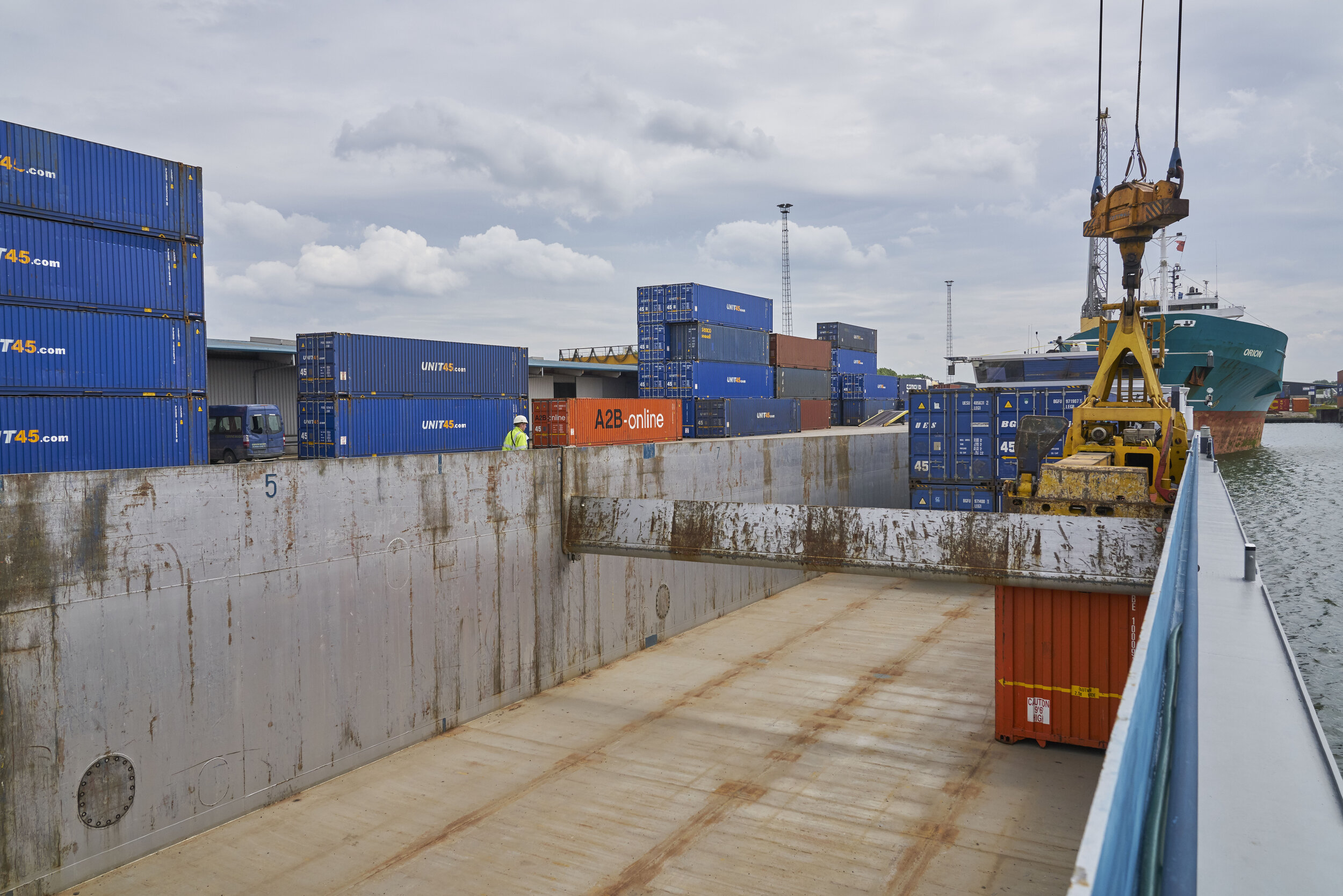
Measurements are carried out by a network of connected inland vessels. The measurements themselves are done separately, but you will use the aggregated data of all. The user friendly software will be incorporated in your onboard systems. A subscription to one of our products and a normal internet connection (4G) is sufficient. Our products are well suited for self-employed skippers, shipping companies and authorities who use the ever changing waterways in Europe. All with one common objective, to travel safely, sustainably and with maximum efficiency.
The CoVadem monitoring network is unique in the world. A growing fleet of over 200 vessels are currently mapping out the latest data on depths and bridge clearances on the river Rhine. Are you currently operating on another trajectory? Your participation in our network could be of value for the development of a more comprehensive monitoring network. So sign in as a frontrunner and partner of CoVadem.